|
SEE ALSO:
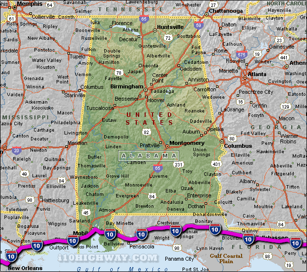
i-10 Alabama Traffic Map.
The i-10 travels across Alabama in generally a east - west direction
... to the east; the i-10 travels into the state of
Florida,
and to the west; the i-10
travels into the state of Mississippi.
The total distance of the i-10 across the state of Alabama is approx. 66
miles long, which requires an approx. driving time of 1 hour and 6 minutes to complete when driving an average speed of 60 miles
per hour.
See also: Regional i-10 Alabama traffic maps;
Grand Bay,
Loxley,
Mobile,
Spanish Fort,
Theodore, and
Tillmans Corner.
|