|
SEE ALSO:
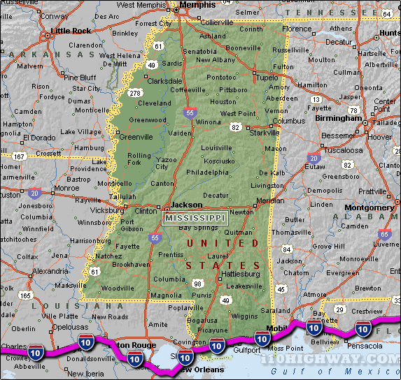
i-10 Mississippi Traffic map.
The i-10 travels across Mississippi in generally a east - west direction
... to the east; the i-10 travels into the state of
Alabama,
and to the west; the i-10
travels into the state of Louisiana.
The total distance of the i-10 across the state of Mississippi is approx. 77
miles long, which requires an approx. driving time of 1 hour and 17 minutes to complete when driving an average speed of 60 miles
per hour.
See also: Regional i-10 Mississippi traffic maps;
Biloxi,
Diamondhead,
D'Iberville,
Gulf Hills,
Gulfport,
Moss Point, and
Orange Grove.
|